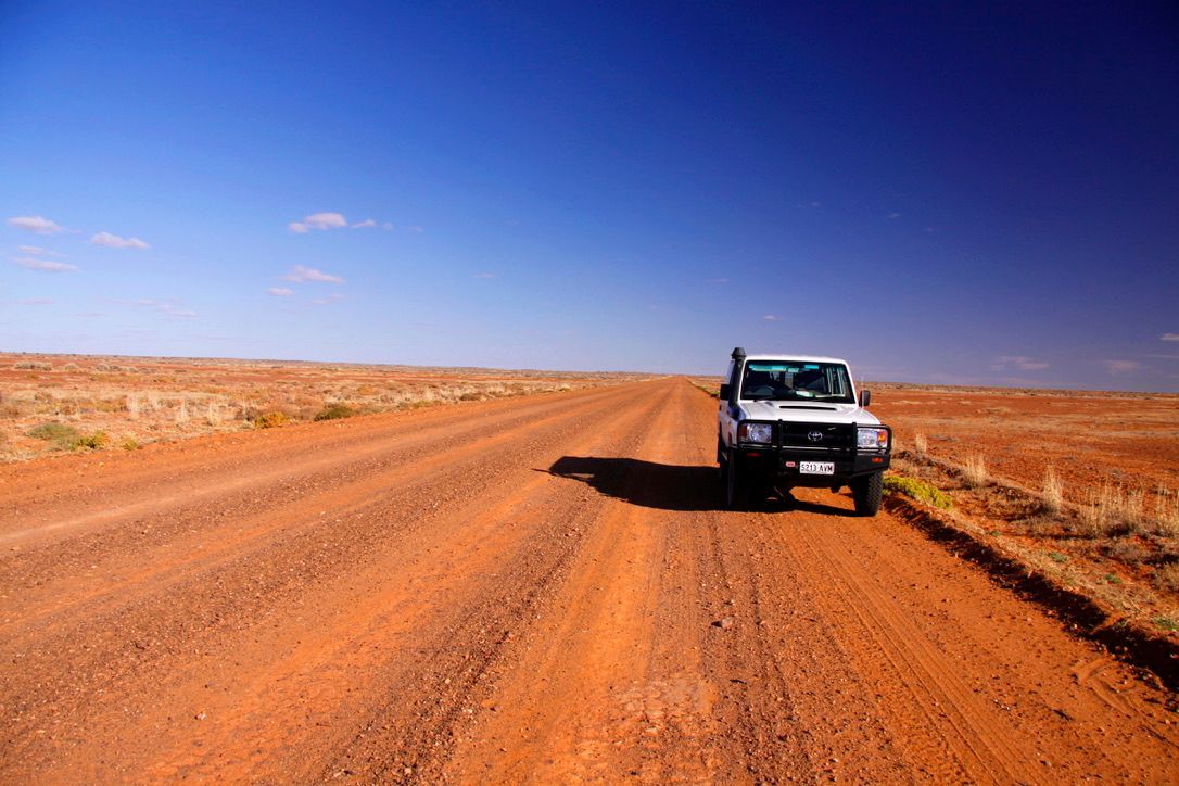
The British are great measurers. They have a sense of order. You can see it best in their maps. The Ordnance Survey maps are a perfect representation in two dimensions of every detail of the three dimensional world. Perhaps it’s their Roman heritage. The Romans, too, loved order, measurement and straight lines. It gave their empire a fixed sense of civilisation; of known boundaries. Once you have named a place, and fixed it on a map, it’s there for good. Incontrovertible. Unassailable.
The British in India were great measurers. The boundaries of their biggest possession, the jewel in the crown of their Queen’s empire, were constantly being mapped and measured and refined, then re-measured, re-mapped and re-defined with ever-increasing accuracy. And to do this effectively they needed a starting point: a set location from which all subsequent measurements and distances could be calculated. So they measured and surveyed and computed. Through the heat and the dust and the monsoonal floods. From the fretted edges of the sub-continent to the highest hills and the lowest depressions. With theodolites and chains, they measured and calculated and mapped. Until they found the centre of India.

Surveying during the Victorian Era was nothing like it is today. There was no Global Positioning System to find a point on a landscape with a button’s push. There were no computers to crunch the numbers or laser range finders to measure distances. The Victorian surveyors mapped continents using theodolites (a type of small telescope), calibrated ranging rods, steel measuring tapes, Gunter’s Chains (66 feet long) and mathematics. These things are still in use today. A surveyor still has to be able triangulate. But the traditional tools are backed up by sophisticated technologies.
Yet the Victorians, and their successors, the Edwardians, with endless patience and attention to detail, managed to find the centre of the Indian subcontinent and mark it with a stone. The Great Trigonometrical Survey of India was begun in 1802 under the auspices of the East India Company. Its first leader was a British Army officer, Lieutenant-Colonel William Lampton. He was succeed by his assistant, a civilian surveyor named George Everest who went on to become the Surveyor-General of India and after whom the world’s highest mountain is named.
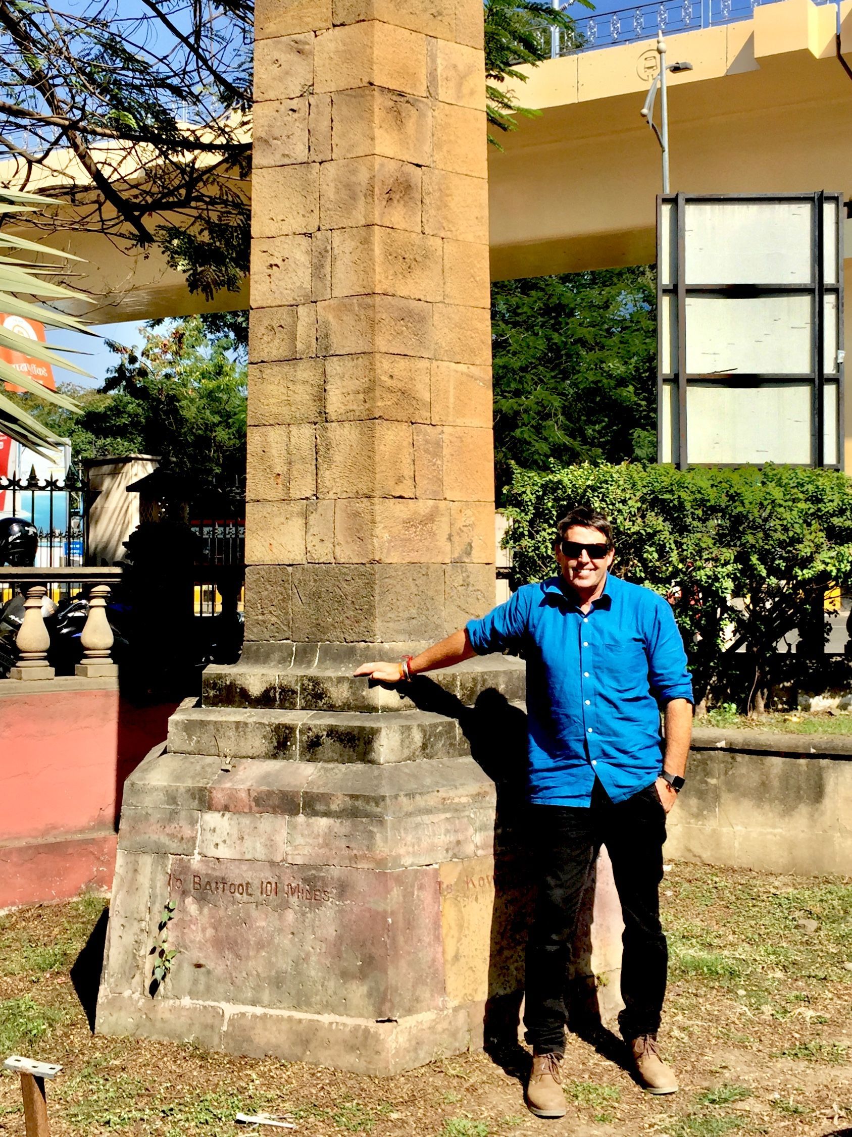
It took more than a century of careful triangulation to complete the survey of India. In 1907, the Zero Mile Stone was established at Nagpur to mark the centre of the subcontinent. The British erected a sandstone tower next to the small marker stone, which has a brass plaque affixed to its top, and which represents the exact centre point. It is from here that all distances in India are still computed.

It took the British one hundred and five years to find the centre of the subcontinent. For me, the journey to the centre of India was nothing more than a ten minute walk from my favourite Nagpur cafe: Corridor Seven Coffee Roasters. I simply finished my latte, said “see you later” to my friends at the cafe, and walked out into the February sunlight. Guided by the gentle, comforting voice of my Google Maps girl, I walked along Temple Bazaar, the shady street behind the cafe, turned right onto Nagpur-Chandrapur Road, crossed beneath the Mass Transit Flyover and there I was.
The Centre of India is contained within a small garden beside the Zero Mile Metro Station. A wrought iron fence separates the garden from the maelstrom of cars swirling past on Sri Baba Street. Four stucco horses rear from the ground beside the flagstone path leading to the tower. I walked into the garden through a small gate hanging ajar on rusty hinges, brushed past an overhanging peepal tree and put my hand on the warm, hexagonal stone of the tower. I imagined the vast lands surrounding me in all directions from this point. The towering Himalayas with their moraine-striped glaciers. The deserts of Rajasthan. The teeming Ganges Plain. The long, tropical coastlines of Kerala. The tea-clad hills of Assam and Himachal Pradesh. The stepped and colourful temples of hot, humid Tamil Nadu.
I sat for a while in the shade of the peepal tree and thought about my next move. From here I could go in any direction I chose. All of India lay before me. Anything was possible; any destination was reachable from here where I sat in the Centre of India. I could even, if I wanted to, go back to Corridor Seven and have another coffee.
From the fretted edges of the sub-continent to the highest hills…